My climbing adventures in 2018 ended prematurely. Numerous times I tried to pick up my pace later in the year, however, it was all for naught. Despite my earlier than expected wrap up of my 2018 hiking adventures, it made me look forward to what 2019 had in store.
With this thought at the back of my mind, I started my 2019 hiking adventures in high note. To resume my mountaineering escapades, I chose a more obscure hiking destination – Tarlac’s San Jose Circuit – by joining an organizer-friend’s organized event. Without any ado, I joined the adventure, albeit it being a major climb and it being my first climb in seven months. I do have confidence in my capabilities, after all. Besides, I did prepare my self physically for this endeavor.
Into the Open Trails (Again)
I was in luck, the meeting place for the hike is near where I live! I am well-rested and well-prepared for what is in store for me today. Knowing Tarlac, I kind of had a hunch that I will find myself on the open trails, again. Mt. Damas is waving at you. What lies ahead is full of uncertainties. The best we can do is to prepare ourselves.
On an early Wednesday morning (yes, this is my first weekday climb too), at around 1 AM, we departed for Tarlac. At around 3:30 AM, we reached our destination, Sitio San Pedro, Brgy. Iba, San Jose, Tarlac. We alighted quite a distance from the tribal hall so we had to walk. The moment we started walking, the early morning atmosphere came alive with the syncopated barking of dogs as one after they other, they aroused from their slumber.
We tried to calmly walk and thankfully, nothing untoward happened before we reached the tribal hall. Sitio San Pedro is a domain of the Abeling Tribe, hence, the tribal council hall. At the tribal hall, we waited for our tour guides, and completed all pre-climb routines. With everyone warmed up by their first cup of coffee, we officially started our trek at around 5 AM.
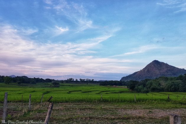
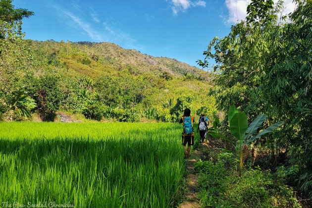
The entire circuit is made up of three main mountains, with elevations ranging from 491 MASL to 617 MASL. In the darkness, we made our way to the jump off point of the first mountain, Mt. Kawayan. We navigated a farm road, passing by plots of farmlands. The challenge started at about 30 minutes into our climb when we found ourselves climbing up steep slopes. The climb was short, but it was made difficult by the loose soils and rocks.
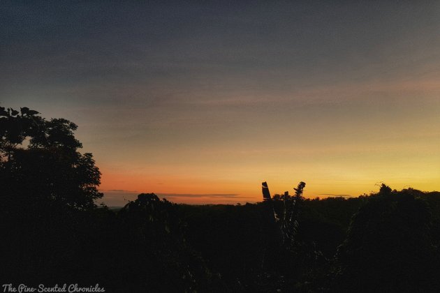
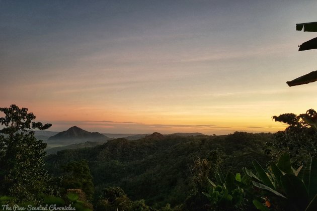
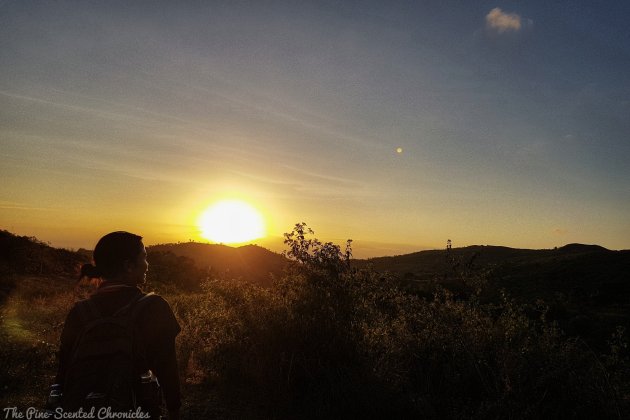
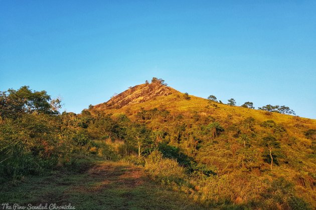
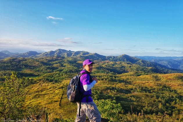
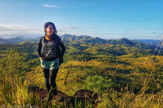
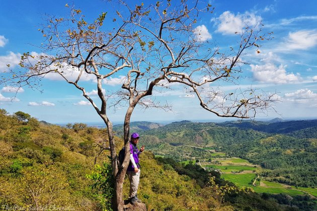
A little over an hour after starting our trek, we found ourselves on an elevated grassland. Over the eastern horizon, the sun begun taking a peek. Slowly, it rose above the Central Plains, in all its dazzling glory. There is a certain level of serendipity when one witnesses a sunrise. From our vantage point, we were given a peek of the community that is slowly rousing from its slumber. We also saw the summit of Mt. Kawayan. In order to reach it, we have to go around the mountain. We resumed our hike after a brief respite.
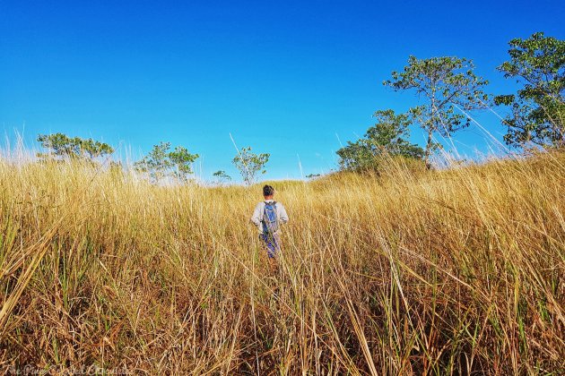
To get to our first summit of the day, we had to navigate a barely established trail. There was something so wild about the trail that even our guides had to get their bearings at times. It didn’t help that the grasses obscured the trails. This is the disadvantage of climbing unpopular mountains. I am still thankful because we didn’t have to deal with large crowds that flock the more popular mountains.
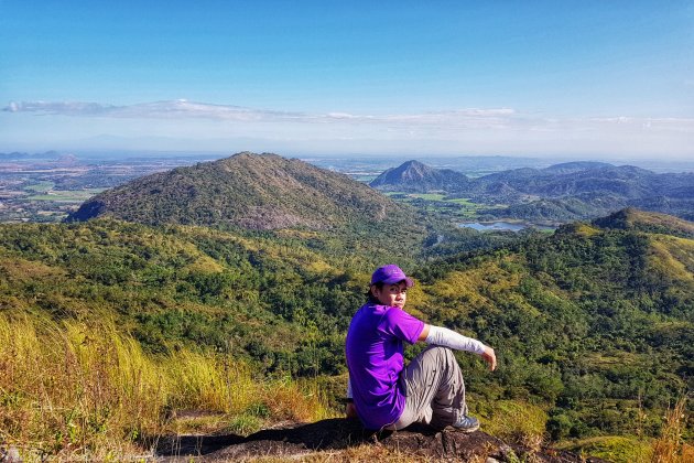
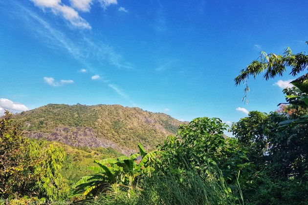
It was nearly 7:30 when we finally reached the summit of Mt. Kawayan. The 360-degree view is your typical countryside atmosphere – sleepy but tranquil. Small terraces and communities can be seen from the summit. Over the horizon, one can also see other mountains. The silhouettes of Mt. Arayat can be made out.
After feasting on the view, we resumed our trek. We had to slightly backtrail before pursuing the trail going to Mt. Bungkol Baka. The meaning behind the mountain’s name became apparent as we trudged down the trail. Along the trail, we encountered several cows as the area in between the mountains are grazing areas. It is no surprise as the land is brimming with all types of grasses.
At around 9 AM, we reached our second summit for the day. Soaring at an elevation of 617 MASL, Mt. Bungkol Baka is the highest of the three mountains in the circuit. It is also the furthest. At the summit are vestiges of the origin of the mountain’s name. It is literally jotted with solidified cow poop; even the stench ruminates in the air. Just like Mt. Kawayan, it offers a wide view of Sitio San Pedro and its environs.

Due to the distance between Mt. Bungkol Baka and Mt. Tangisan, we immediately resumed our climb after taking a couple of pictures. We again had to backtrail to the primary trail before turning left towards Mt. Tangisan. The first part of the trail is rather open so when we entered the shaded part of the trail, we were all grateful.
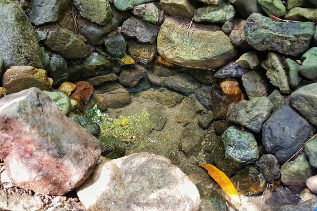
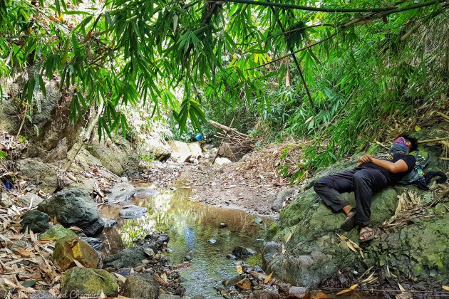
The shaded part slithers along with the stream that flows down to the community down the mountains. Midway to Mt. Tangisan, we all sat down and rested in the first and only water source we encountered along the trail. It is there also that we had our lunch. Thanks to the shade, we were protected from the scorching heat. The cold water from the natural spring also revived our waning spirits.

After plenty of rest, our group resumed our trek to the last mountain in our itinerary, Mt. Tangisan. However, a new challenge presented itself. With an open trail and with the sun high up, the stifling heat was a punishment. As we were inching closer to the summit, I was reminded of Mt. Damas – despite its height, the climb was made unbearable by the heat. Heck, Mt. Tangisan isn’t even as technical as Mt. Damas but it is as excruciating. Darn the heat! Even though we were about to give up halfway into the climb, our resolve was stronger – we pushed hard even if we had to crawl up.
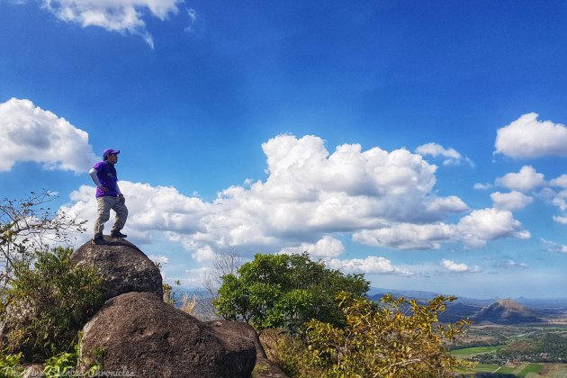
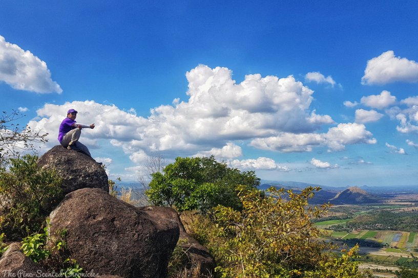
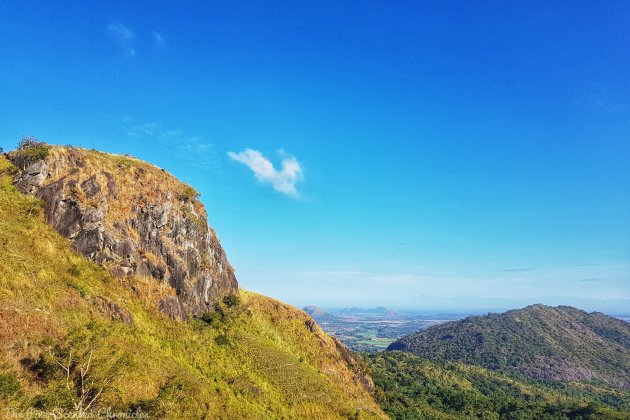
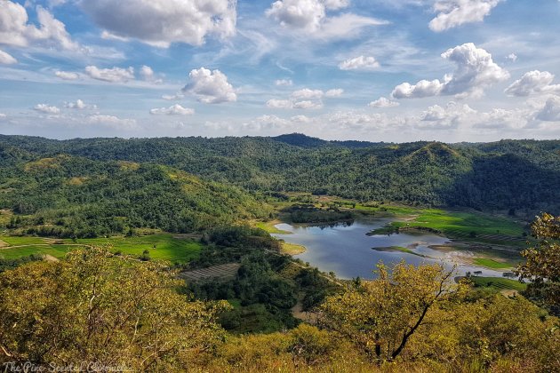
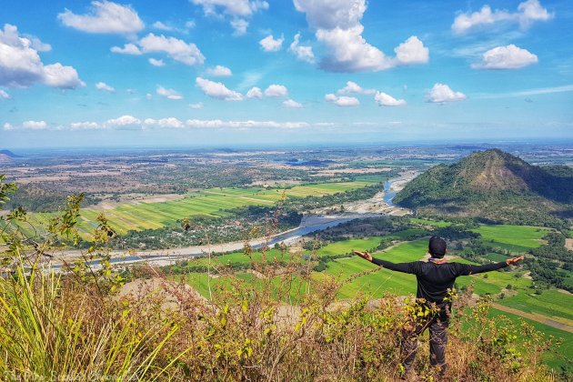
Our unwavering faith paid off as we were finally able to sight the summit. Yes! It is a stone’s throw away so despite the heat, we rushed towards it. Our endeavor paid off as the the view at the top was amazing. At 491 MASL, Mt. Tangisan is the shortest of the three mountains in the circuit but the view it gave of Tarlac and the rest of the Central Plains was simply breathtaking. It is a mixture of green and blue; the line where these two colors converged over the horizon can be seen. Fluffy clouds sailing by gave us the impression that we were floating. I’ve said it time and again, the most beautiful views come after the most difficult climb.
With our mind filled up with amazing imagery, we started our descent which was again made challenging by the loose soil. In one’s hurry to avoid the heat, one might take a misstep and roll down the mountain. Utmost caution is advised.
Our climb, which begun at around 5 AM finally concluded at around 3:30 PM. Everyone had a great time despite the heat. New lessons were learned. New friends were gained. More importantly, new memories were created.
Till the next mountain!
Sample Itinerary
Note: This is an organized climb.
0100 ETD San Jose Tarlac
0330 ETA San Jose Tarlac. Pre-climb preparations
0500 Start climb
0700 Mt. Kawayan summit. Breakfast
0730 Resume climb
0900 Mt. Bungkol Baka summit. Photo ops
0930 Start descent to main trail
1045 Water source. Early lunch then siesta
1230 Resume climb
1330 Mt. Tangisan summit. Photo ops
1400 Start descent
1530 Jump off point
My gratitude to Jaime Dequinon and Akyat Tanaw Mountaineers for the successful climb. Want to join an organized climb? Check their Facebook page here.
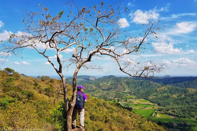
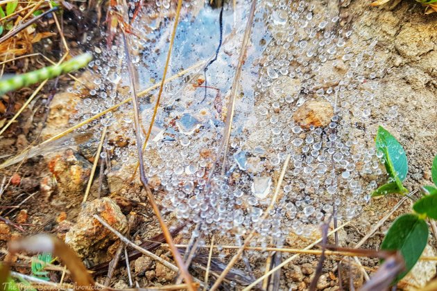
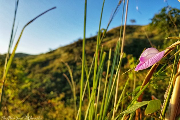
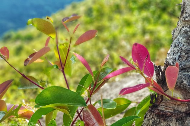
Here are some more random snaps along the trail: