October 30, 2016
For breakfast, we were served with! *drum roll*. Seafood! After another seafood feast, we got ready for the next part of our adventure: the tour on the surrounding islands. Luckily, after tons of prayers, the rains have subsided and the skies have opened up. At 8 AM, we were all ready to embark on another set of adventure.
And so the adventure begins! As it was only Joy and I during this trip, we had an entire boat for our own and a personal tour guide; each group was designated their own boats and guides. Due to the early morning downpour, the waters were palpably rough.
Bantigue Sandbar was our first stop. We had to be there before the tide surges and swallows the sandbar back. Due to its geography, sandbars are very common in the Philippines. I have already seen the beauty of Manjuyod sandbar in Negros Oriental and of Bulog Dos sandbar in Coron, Palawan. Nevertheless, I still can’t help but be captivated by the subtlety of the beauty of sandbars. They are like white gems that rises from the seafloor once the tide recedes.


Whereas Manjuyod is flat, Bantigue has a more rounded shape. It looks like a mound, a long-elongated mound located in the midst of the sea. The sand is also coarser and browner. Perhaps the bleak weather affected the sand’s pallor? It was still beautiful and Joy and I were giddy like children, running and walking its entire length. We looked for a spot that is away from the crowd so that we can take unimpeded pictures.
From the sandbar, we moved to our next stop – Cabugao Gamay Island. To most, this is the highlight of the Isla Gigantes tour. After all, the islands became famous because of a viral picture taken at this very same island. It was quite easy to see why. The island is a stretch of sand framed by rock formations on both ends. Visitors climb one of these hills and have their picture be taken there.
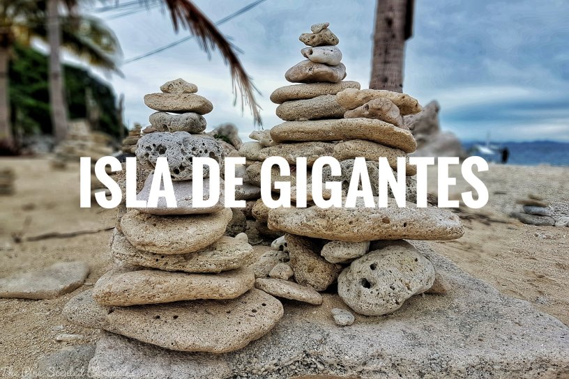
As there was a queue at the famous spot, Joy and I spent our time exploring the island. There are other sights to witness such as the cerulean waters and the rock formations. Dead corals and some rocks were piled up to form cairns; this can be found at the middle part of the island. When the crowd at the famous spot has thinned, Joy and I climbed up, passing through a rock hole in order to get there.


The viewpoint gives a wide and beautiful perspective of the island. To avoid accidents, railings were put up. Although the hill isn’t too high, no one wants to fall on jagged rocks. We were able to safely go through the motions; each of us had our pictures be taken at this iconic spot. Cellphone signal in the islands is intermittent. One of the few parts where one can get a signal is at the rock hill.
With one less item from the bucket list, we proceeded to our next stop – Tanke Lagoon. Tanke Lagoon is an enclosure that is obscured by karst rock formations. Tucked within the island, the entrance is well hidden and to get there, our boat had to dock with several other boats. Getting there didn’t entail a lot of walking though, we just had to climb the tall jagged rocks; surprise, the hidden lagoon is before us!
There was already a crowd at the lagoon. Albeit this, the lagoon’s color remained untainted; it was pale green. How did the water get there? When the tide surges, it reaches up to the level of the lagoon. Moreover, there is a hole underneath the rocks where water channels through to the lagoon. However, it becomes inaccessible when the tide is too high.
Unlike some of the other places we’ve visited already, the lagoon looks barer, more virginal. Other than our fellow visitors and some signages, the place is bereft of vestiges of human existence, which is truly cool. Be mindful, however, there are wild monkeys lurking on the peripheries. For those who are not fainthearted, there is also a cliff diving spot near the lagoon. The height of the cliff ranges from rough 20 to 40 feet high. Did I mention that the water there is very clear? Corals and schools of fishes can be seen from the surface.


Before proceeding for lunch, we made one last stop to another island, Antonia Island. Like Cabugao Island, it is a stretch of white sand that is framed by rock formations on both sides. There is a snorkeling area in the island which Joy and I tried. It was Joy’s first snorkeling experience that’s probably why she was a bit giddy. I had to pull and look after her but, unfortunately, I am a very impatient guide! Haha. I am very sorry my friend.
Cheap scallops are being sold at Antonia Island. At PHP 1.00 per piece, anyone can haul as much as they can. According to our guides, the high-quality scallops freshly gathered from the seabed are directly exported to Taiwan. Taiwanese companies have put up their operations in the neighboring municipality of Concepcion.
From Antonia Island, we went to a private island owned by the proprietor of the resort we were staying in. We had the usual serving of seafood, from fish to scallops to a big crab. It was just unfortunate that I don’t like seafood. Thankfully, visitors can arrange for non-seafood meals to be served. However, the cooks must be notified in advance as the course is planned ahead.
While I am ruing on my lost chance, Joy was simply having a feast, basically gulping one seafood after another; being Cordillerans, some of the food served were alien to us. It just fascinates me how Isla Gigantes’ opulence is not seen on the surface, rather, it is buried in the depths of the sea.


The last part of our adventure for the day is Bakwitan Cave. Located up in the mountains of the main island, the cave derived its name from the local term “bakwit”, a variation of the English word “evacuate”. Being true to its name, the locals sought refuge in the cave during the height of Typhoon Haiyan’s wrath.
Enveloped in darkness, the cave is home to some stalactite and stalagmite formations. Unfortunately, some are already dead, perhaps due to the local’s lack of information on how to handle these amazing rock formations. Nevertheless, those that are alive are glistening in spite of the darkness. There was one point in the cave where we had to decide on whether we slip through the small hole to get to the other side of the cave. This is a point of no return. Ah the joys of youth – it was clear what we chose.
We slipped through the narrow hole (not advisable for the claustrophobic) and arrived at the other side of the cave. More physical endeavors pursued and before we knew it, light was shining through a small hole above, our exit point. When we exited, I didn’t realize how high we’ve already climbed; the mountain gave a 180-degree view of the island.


The view was great, the descent, not really. We tread our way down to the bottom of the mountain. We had to be extra cautious because the rocks have jagged edges and a plunge down the cliff is an ungainly sight. Imagine our relief when after nearly an hour, we found ourselves at the base! That was one physically taxing adventure that I was unprepared for.
That was how our adventure at Isla de Gigantes went. We took the rest of the day off, relaxing and getting our energy back as we have to return to Iloilo City the following day.
Highlights of the Tour
- Jumpshot at Bantigue Sandbar
- Obligatory picture at Cabugao Island
- Cliff diving at Tanke Lagoon
- Snorkeling at Antonia Island
- Spelunking at Bakwitan Cave


For the rest of our Scallops Adventure, please click on the links below:
The Scallop Seashore (Part I)
The Scallop Seashore (Part II)
The Scallop Seashore (Part III)
